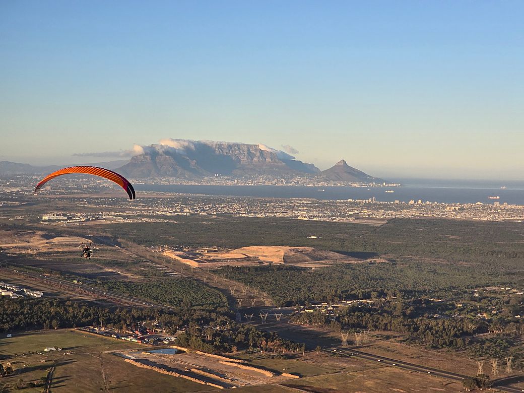
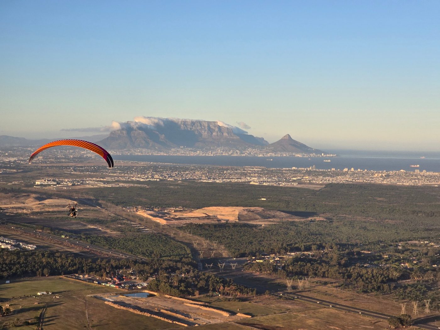
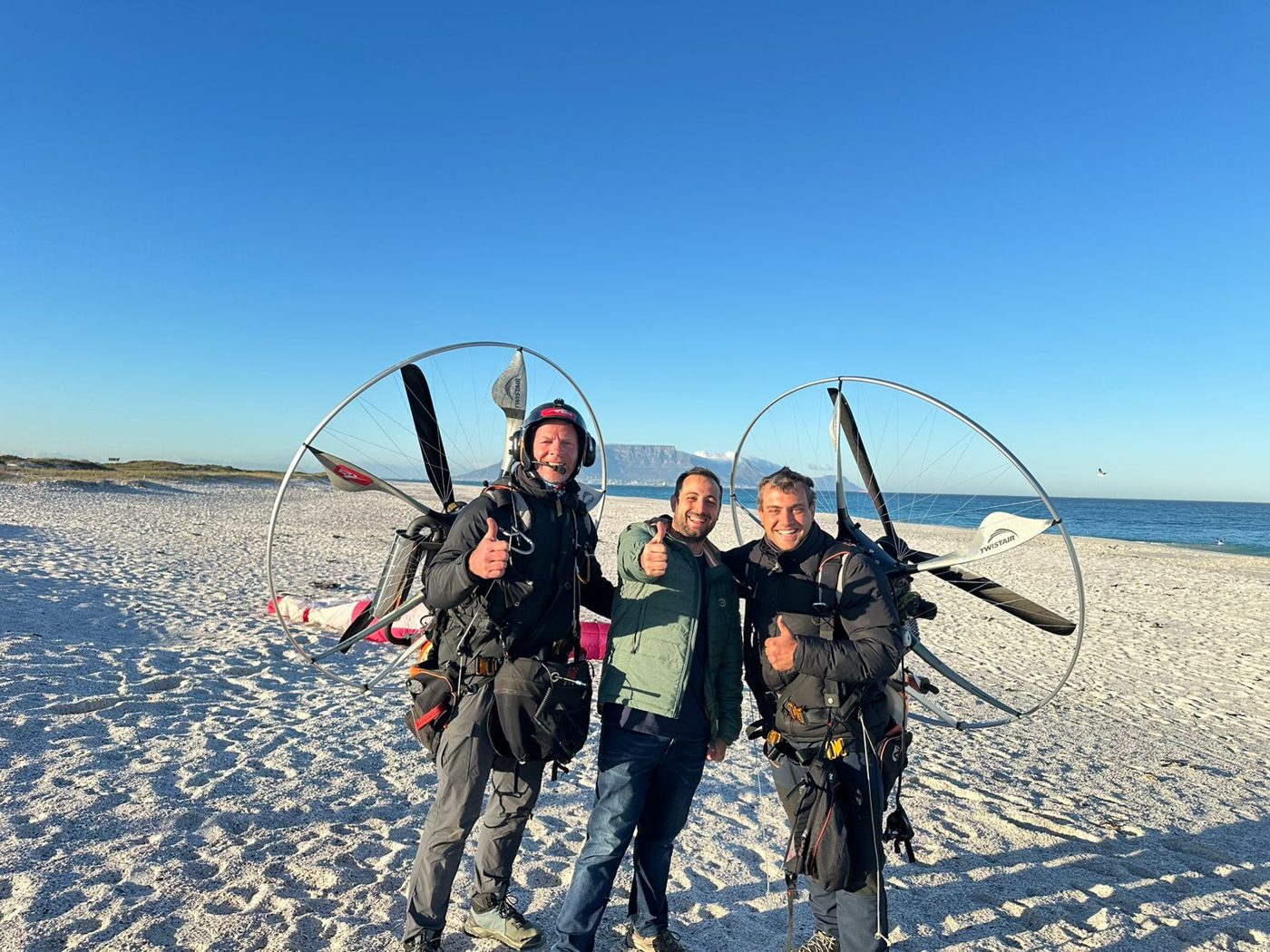
Two pilots, two paramotors and a very long way to the sea. It took five days, from Thursday 11 to Monday 15 April 2024, with Sunday kept on the ground by bad weather. According to Gaggle, we flew 976.5 km in 16 hours 44 minutes across 11 flights, and the final flight ended on the coast just north of Cape Town.
Pilots: Jean-Pierre Seger and Jaco Swanepoel.
The full story, with more photos and video from the flight, is coming soon.
Photos from the flight
Day 1: 11 April 2024, Hartbeespoort Dam to Bultfontein
The plan was to cover about 300 km a day: fly as long as possible in the morning, land, refuel and take off again, break for lunch, then get one more flight in during the afternoon.
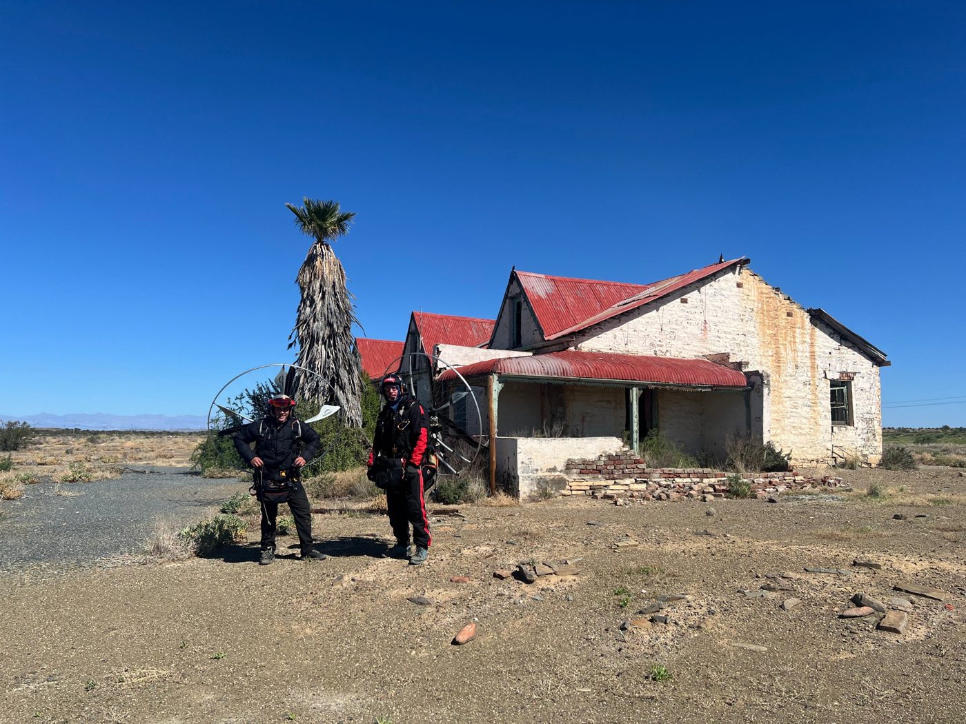
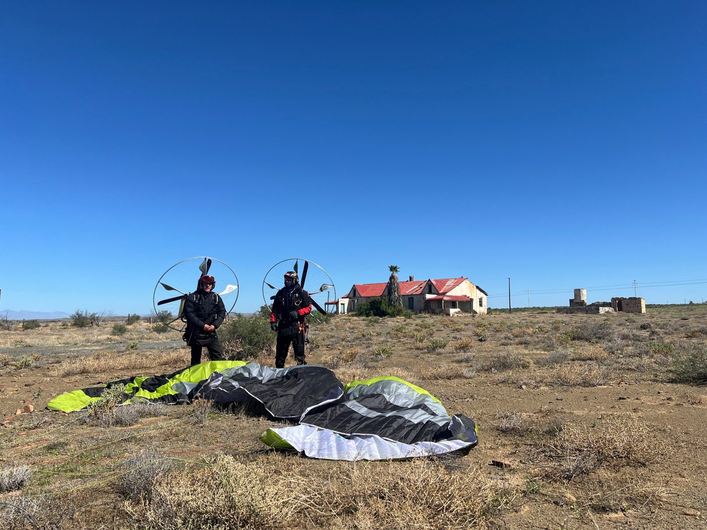
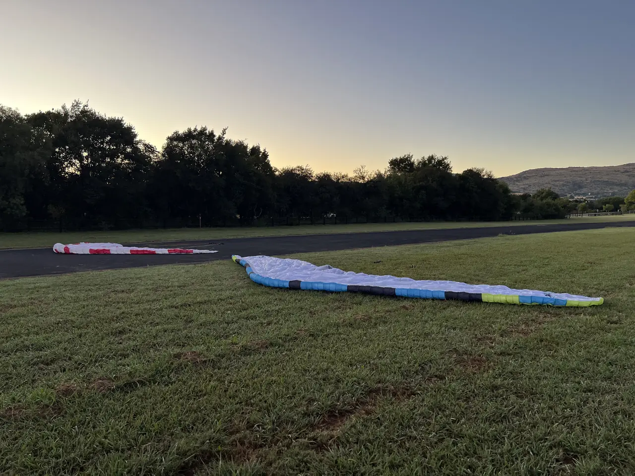
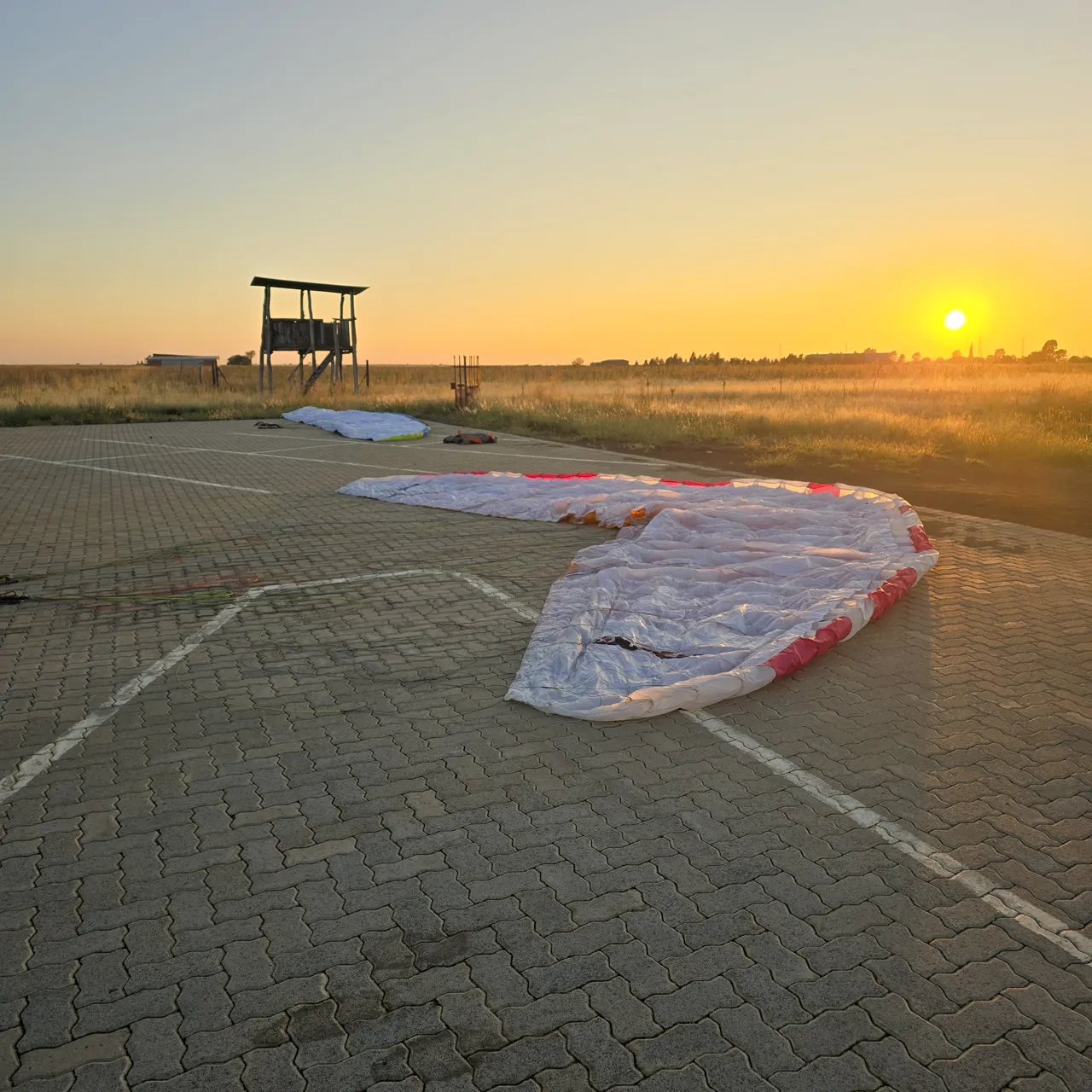
We took off from The Coves Airfield at Hartbeespoort Dam. We had several setbacks before and while taking off, and we eventually got off the ground after a nervous start, about 45 minutes later than planned.
Once in the air we headed for Klerksdorp, but a strong headwind and high fuel burn forced us to re-route to Potchefstroom. I landed after the first leg with just 400 ml of fuel left. With the re-route, everything had to change.
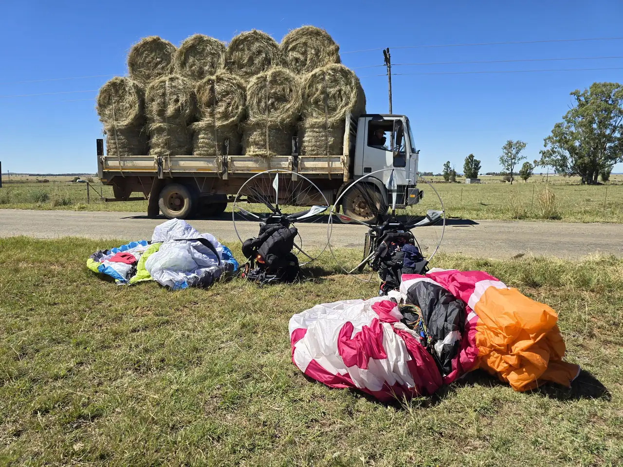
We redirected to Bothaville, but strong and dangerous winds cut that flight short. We drove the last few kilometres, waited for the wind to settle, then took off again from the Bothaville airfield and headed for Bultfontein, a friend's farm. Again the strong, dangerous headwinds forced us to land next to the road, and we drove the last few kilometres.
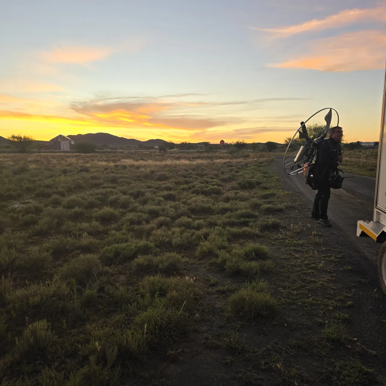
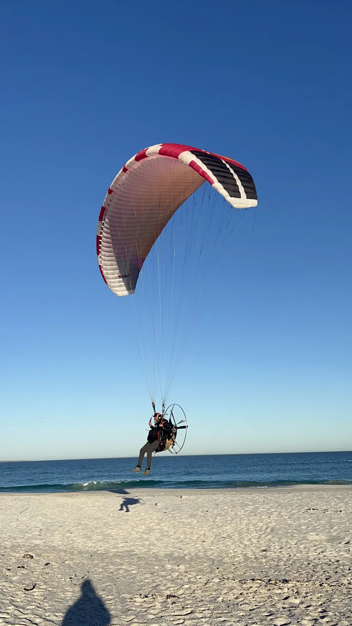
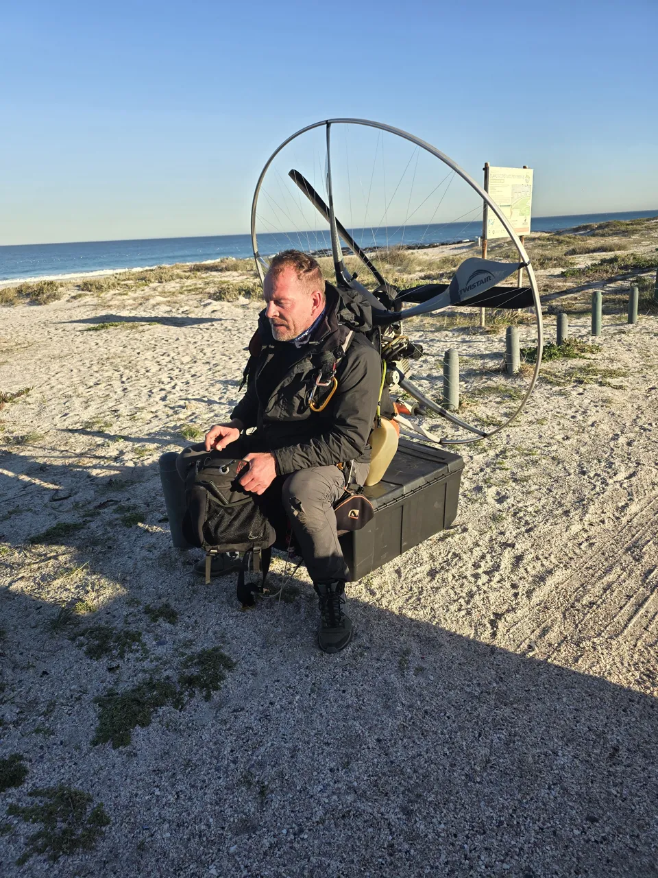
We flew the Nirvana Instinct 230 HL paramotor with Dudek wings. I was still a beginner, so I flew the Dudek Solo, while my flying partner flew the Dudek Hadron 3, an advanced wing.
Our support crew was Hennie, who developed and owns the Gaggle Flight App. He followed us every step of the way.
Day one was the most exhausting and challenging of the trip. We had expected a tail wind and were met with dangerous, turbulent headwinds instead. Thankfully the weather changed for the better after that.
Day 1 in numbers: 3 flights · 200.5 km · 4 h 27 min in the air · top altitude 7,373 ft above sea level.
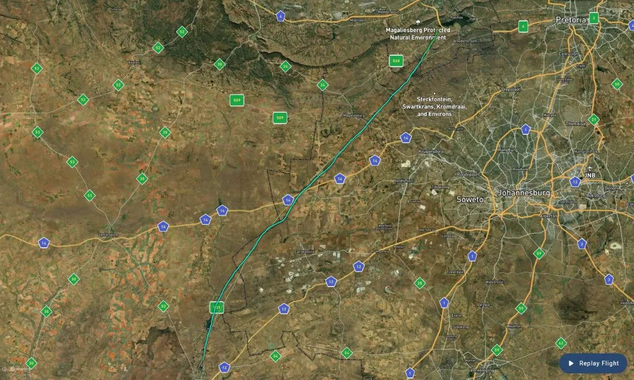
Every Day 1 flight on Gaggle: Flight 1 · Flight 2 · Flight 3
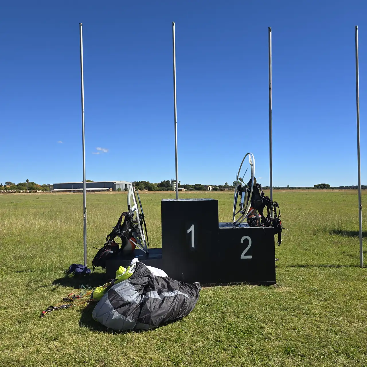
Day 2: 12 April 2024, 362 km from Bultfontein
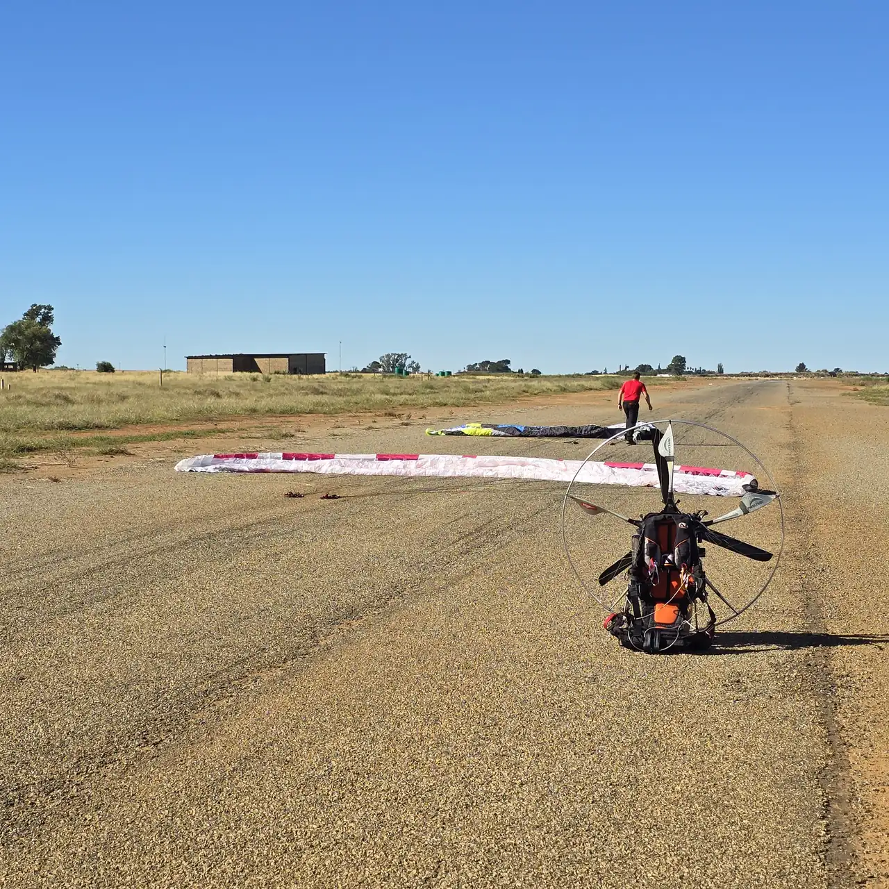
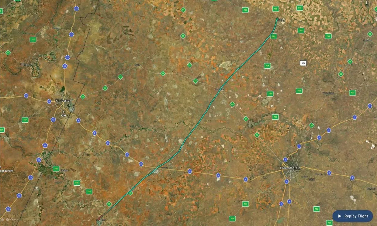
The weather turned for the better on Day 2, and Gaggle shows it. The first flight took us from Bultfontein to the Koffiefontein Golf Course: 179.2 km in 2 hours 15 minutes. It is the longest distance I have ever flown.
Our ground speed on that leg averaged about 80 km/h and peaked at 103 km/h, the fastest of the whole journey. We flew low, too, averaging 737 ft above the ground.
The second flight added 76.8 km, and the third, launched from Orania Airfield in the afternoon, added another 106.4 km.
Day 2 in numbers: 3 flights · 362.4 km · 5 h 27 min in the air · top altitude 5,416 ft above sea level. Our biggest day, and well past the 300 km a day we had planned.
Every Day 2 flight on Gaggle: Flight 1 · Flight 2 · Flight 3
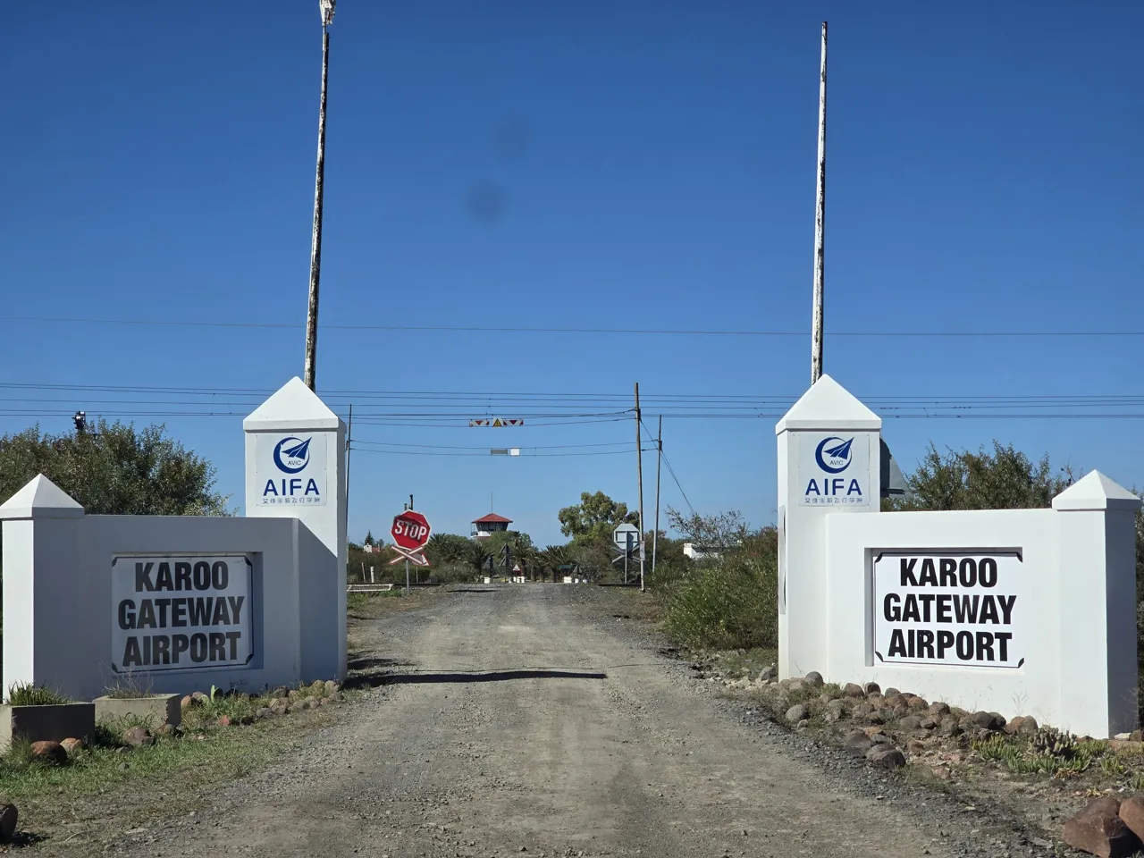
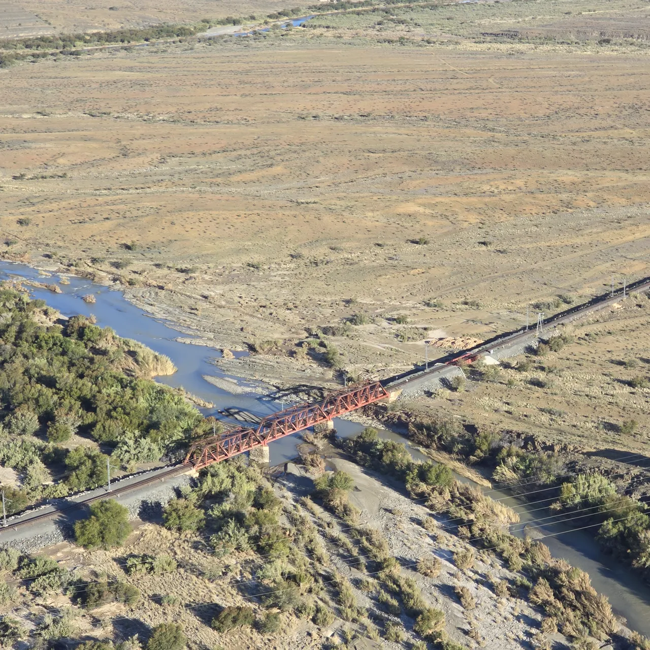
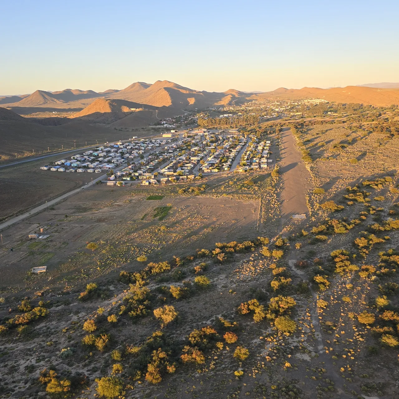
Day 3: 13 April 2024, across the Karoo
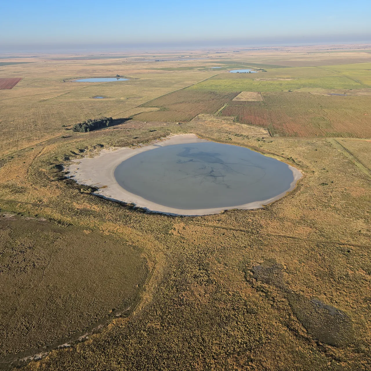
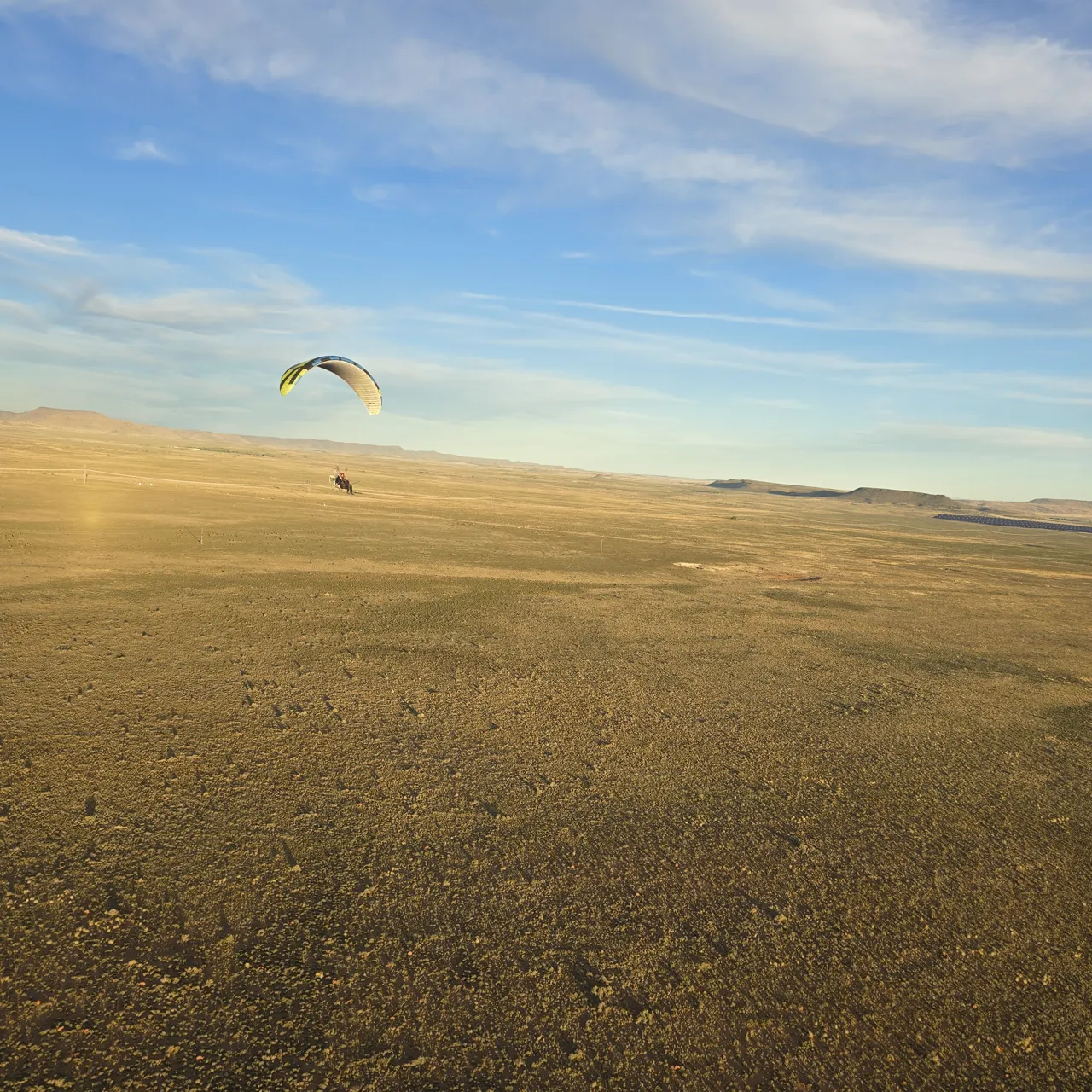
Everyone told us flying across the Karoo was impossible. On Saturday we did it, and we have the video to show it. Day 3 was another day above our 300 km target: three flights, 350.8 km and 5 hours 39 minutes in the air.
The first flight launched near Richmond and ran 139.7 km in 2 hours 6 minutes. It took us to the highest point above the ground of the whole journey, 2,684 ft, and a top altitude of 6,818 ft above sea level. We landed at Beaufort West. The second flight took off from there and landed at Leeu Gamka: 91.9 km. The third ended at Laingsburg: 119.2 km. The later flights were flown lower: their top altitudes were 3,640 ft and 3,025 ft above sea level.
We slept that night at the Swartberg Street Herambi Guest House in Laingsburg.
Day 3 in numbers: 3 flights · 350.8 km · 5 h 39 min in the air · top speed 80 km/h · top altitude 6,818 ft above sea level.
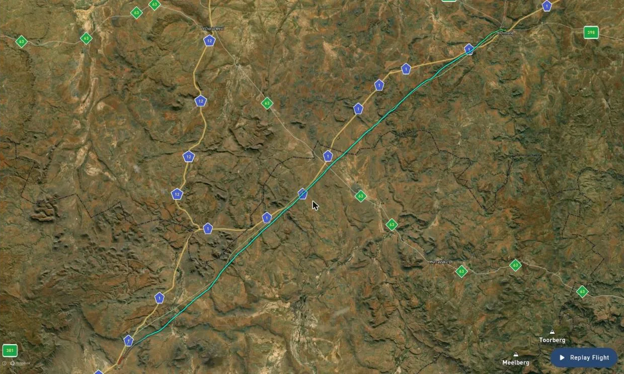
Every Day 3 flight on Gaggle: Flight 1 · Flight 2 · Flight 3
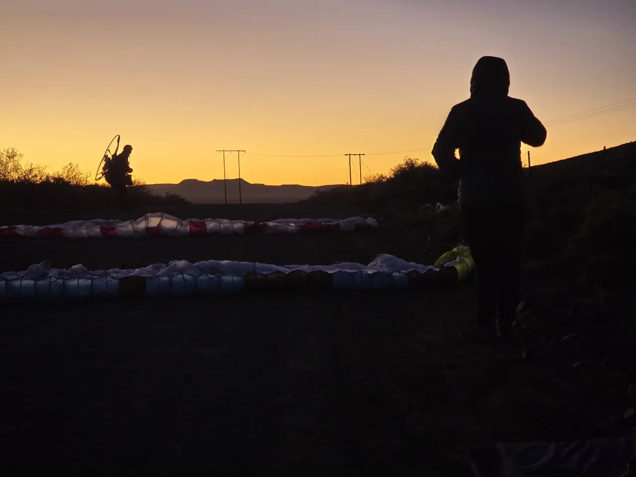
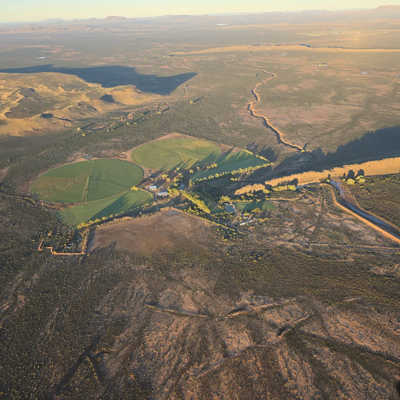
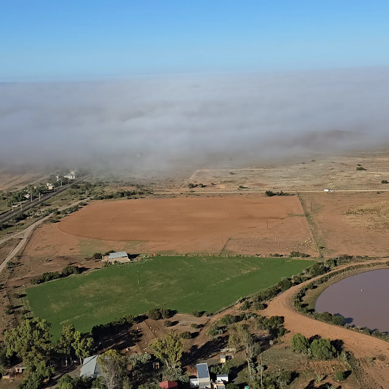
Day 4: 14 April 2024, the day the weather said no
Sunday was a blow-out. The weather shut us down and there was no flying, so we drove into Cape Town instead and spent the night in a guesthouse. After three flying days and 913.7 km, the last stretch had to wait for a better morning.
Day 4 in numbers: no flights. Still part of the journey.
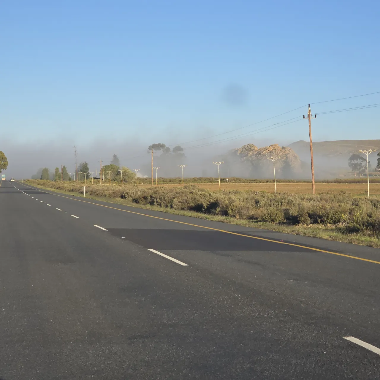
Day 5: 15 April 2024, the last stretch to the sea
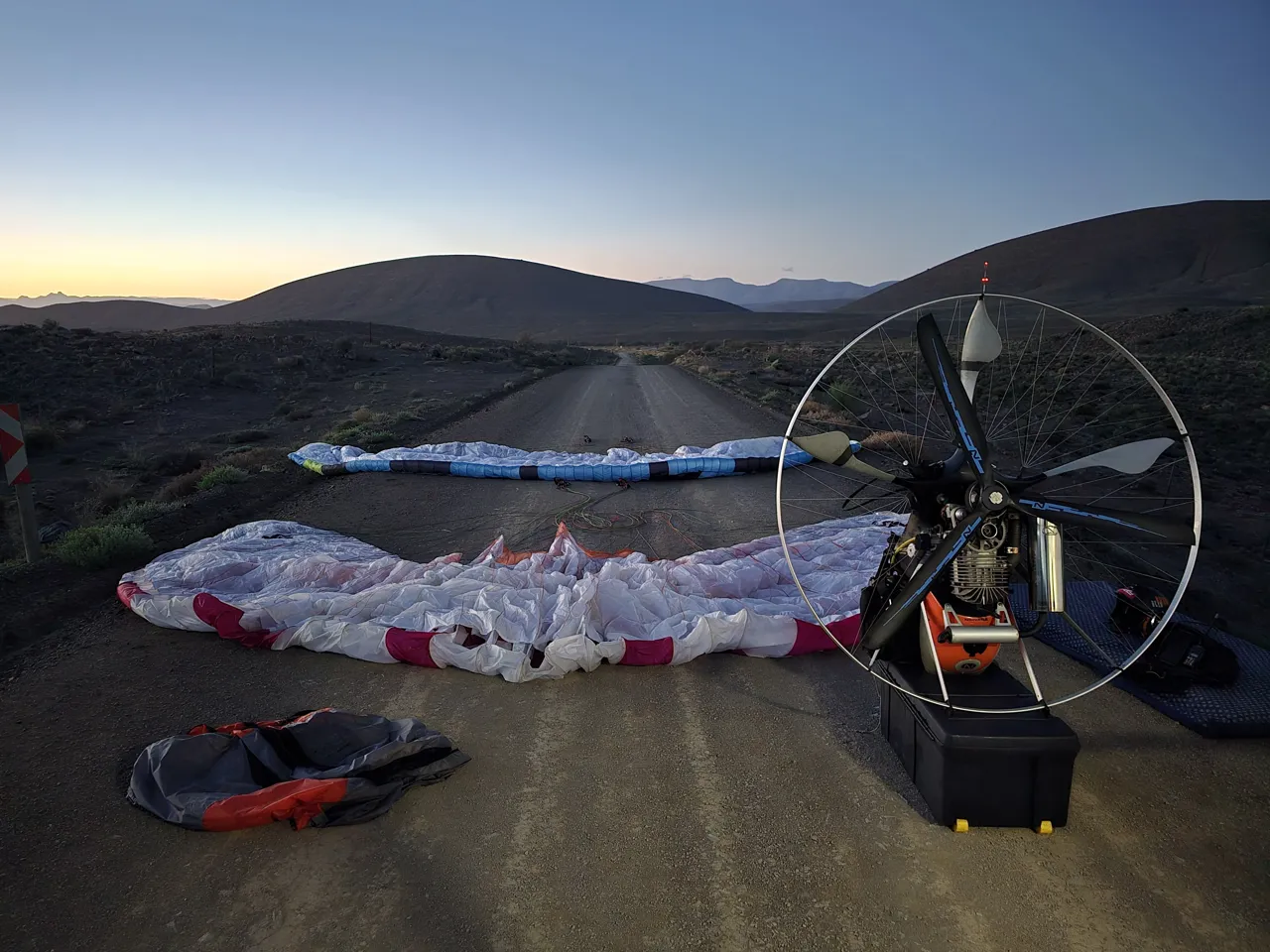
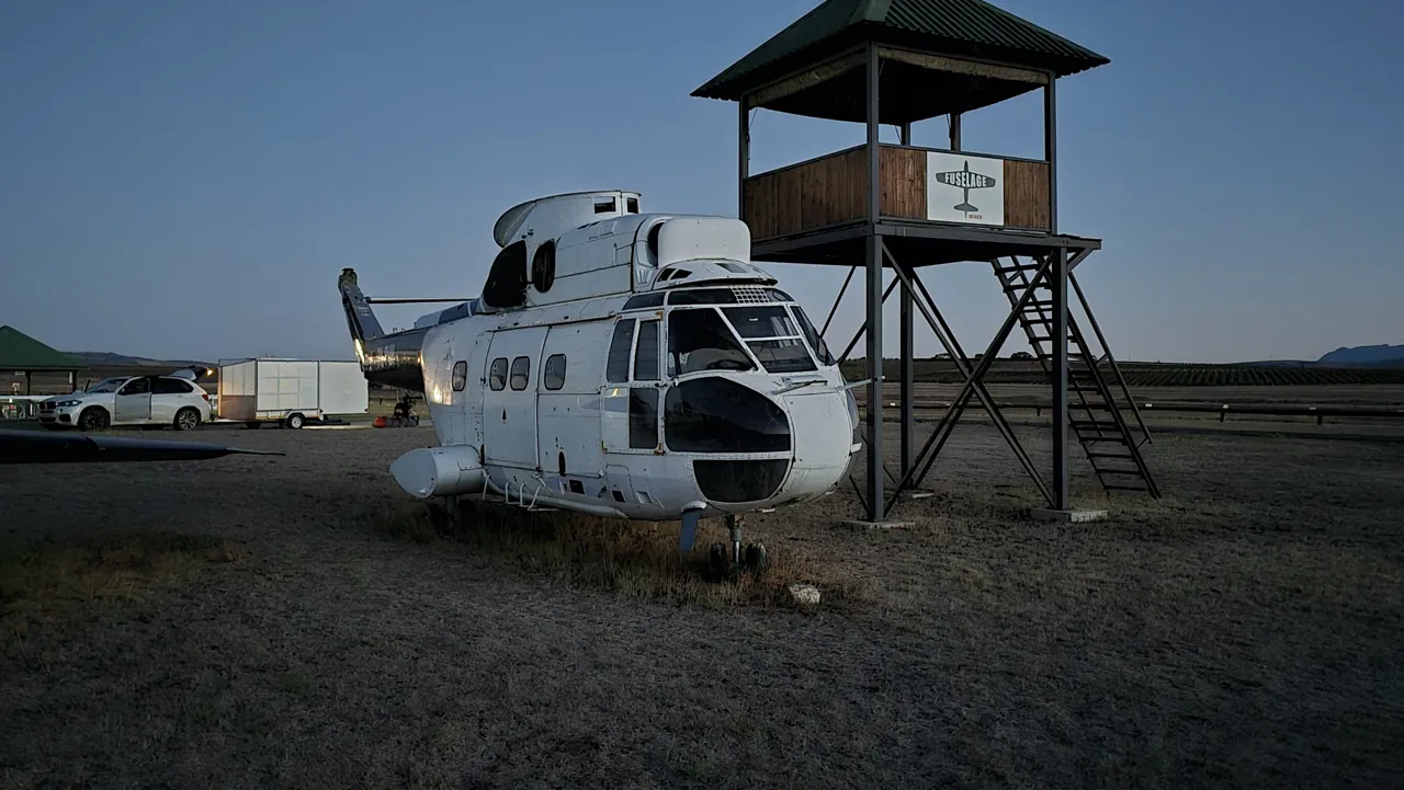
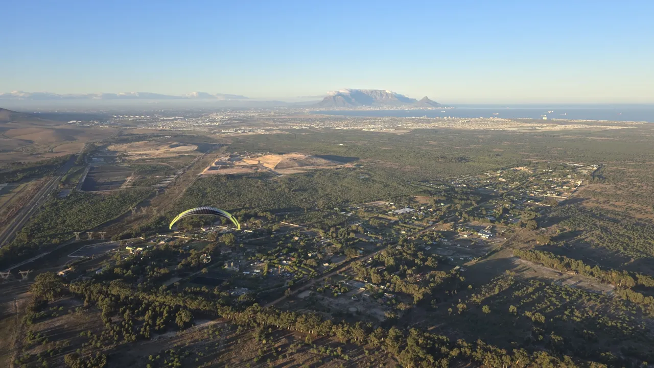
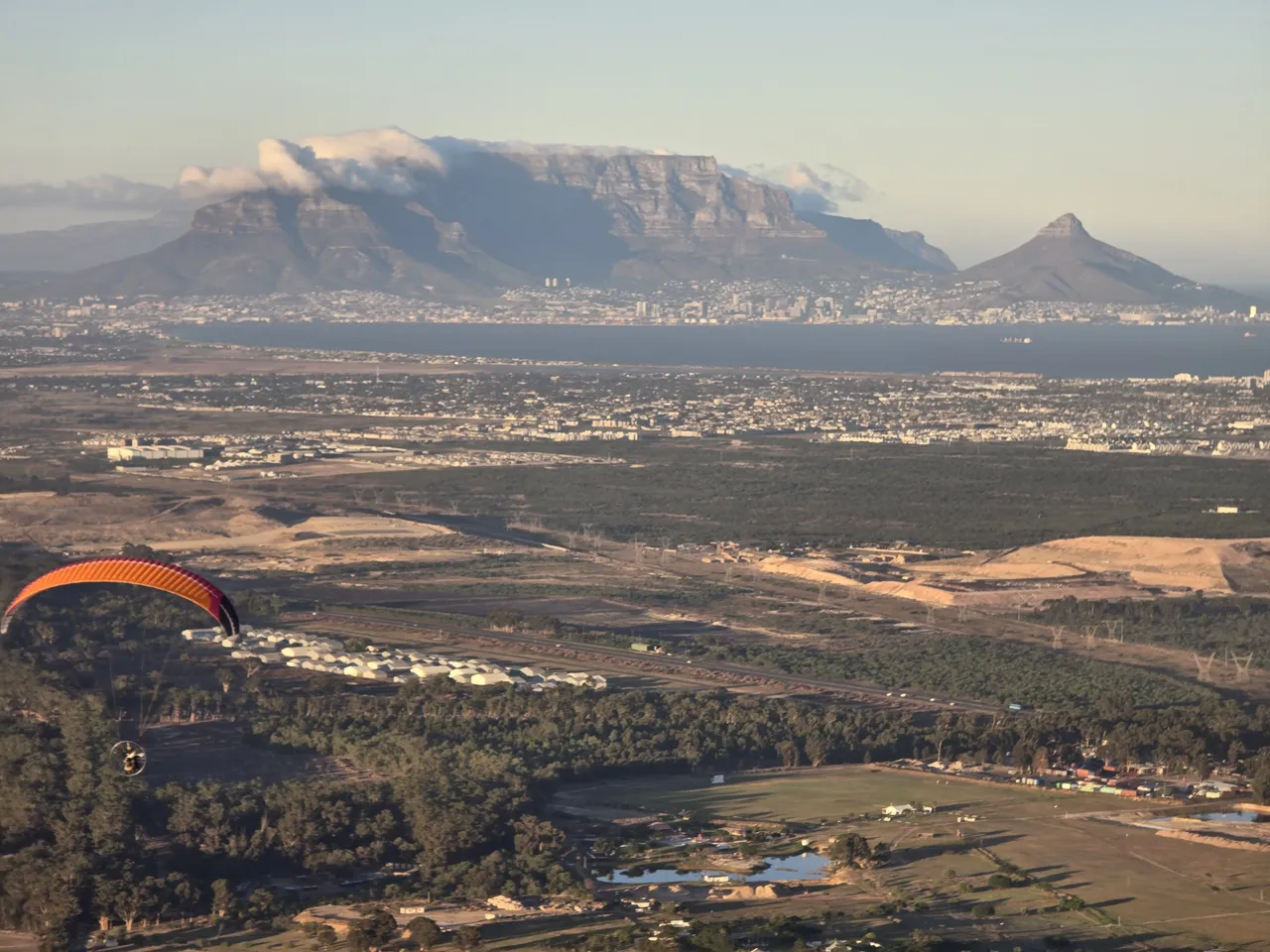
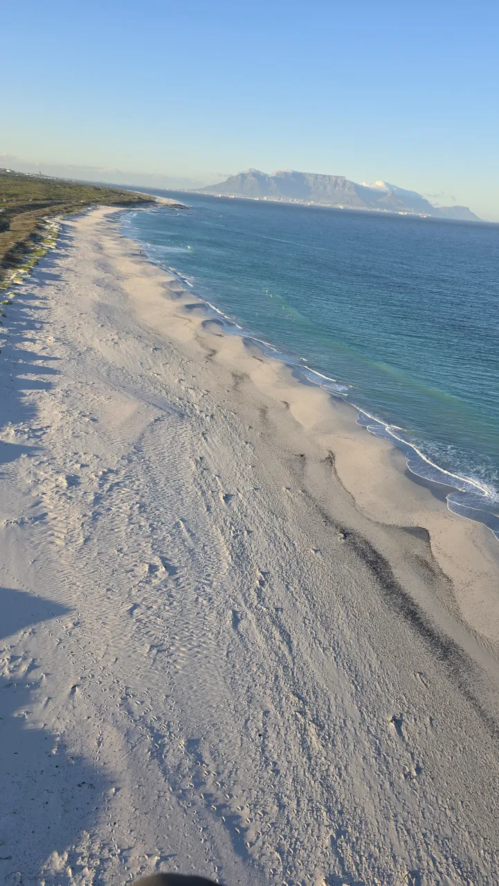
On Monday we took our last two flights, both from Diemerskraal Airfield: a short 1.6 km hop, then 61.2 km in 1 hour 9 minutes, together 62.8 km in 1 hour 11 minutes. The first Gaggle recording was cancelled because I hadn't chosen the preset route, so I started again on the correct one. We reached a top altitude of 2,308 ft and a top speed of 84 km/h, and landed at Melkbosstrand at 08:09.
Day 5 in numbers: 2 flights · 62.8 km · 1 h 11 min in the air · top altitude 2,308 ft above sea level.
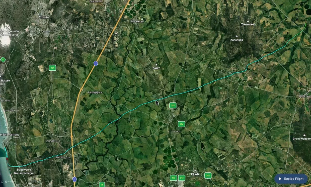
Both Day 5 flights on Gaggle: Flight 1 · Flight 2
Want to fly your own cross-country? Start with a discovery flight, learn about PPG training, or see the paramotors we sell. ← Back to News